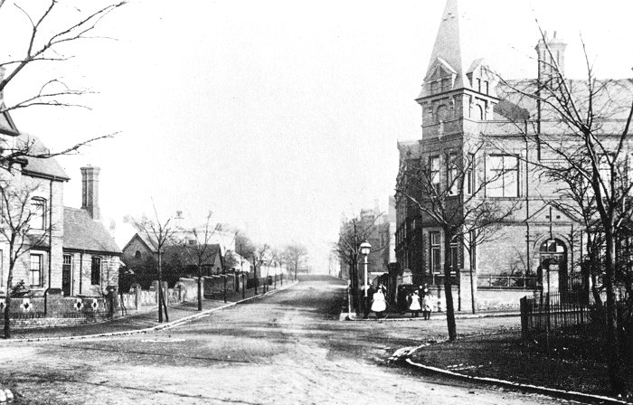
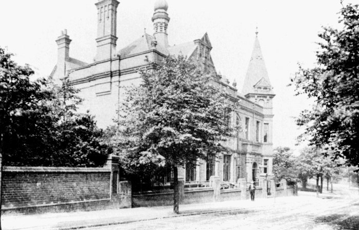
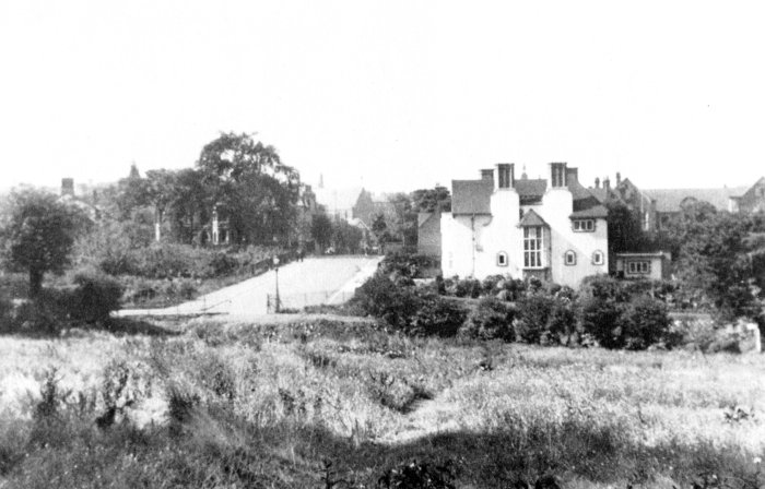
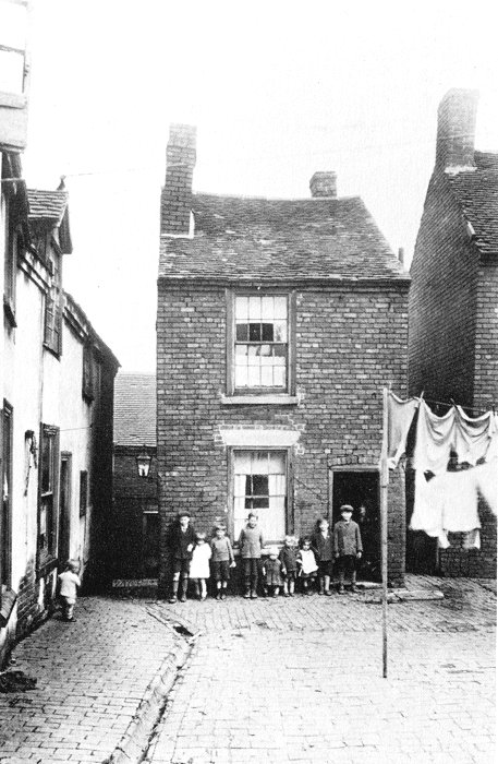
|
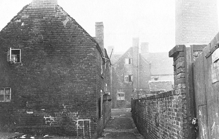
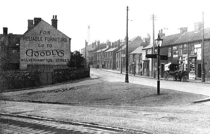
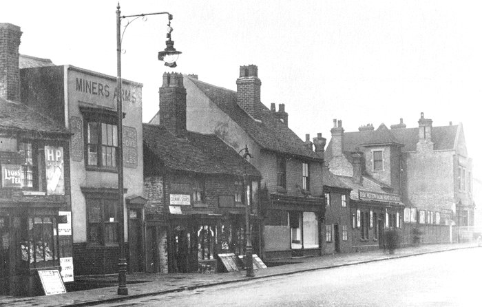
Several
images of Dudley and the surrounding
area, taken from old postcards. |
|
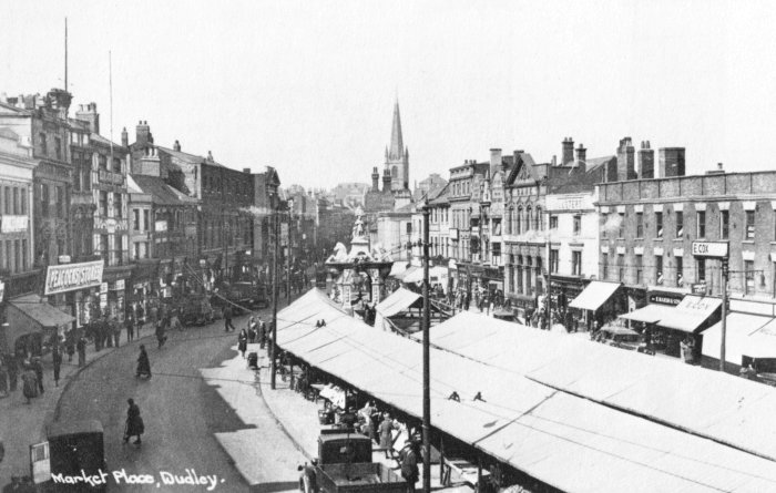
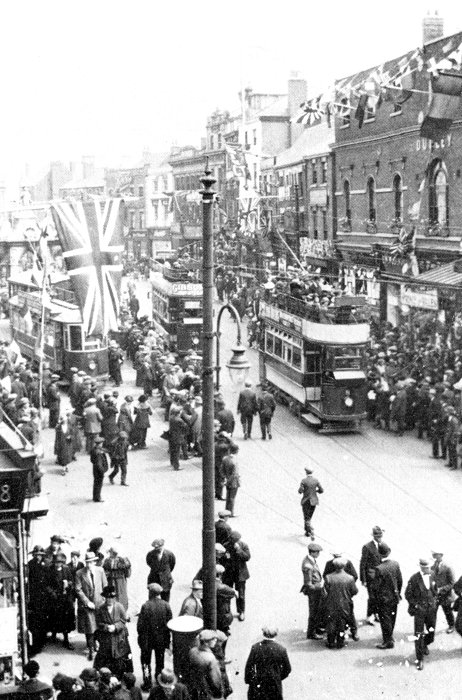
A view of the Market Place
from the 1930s. |
|
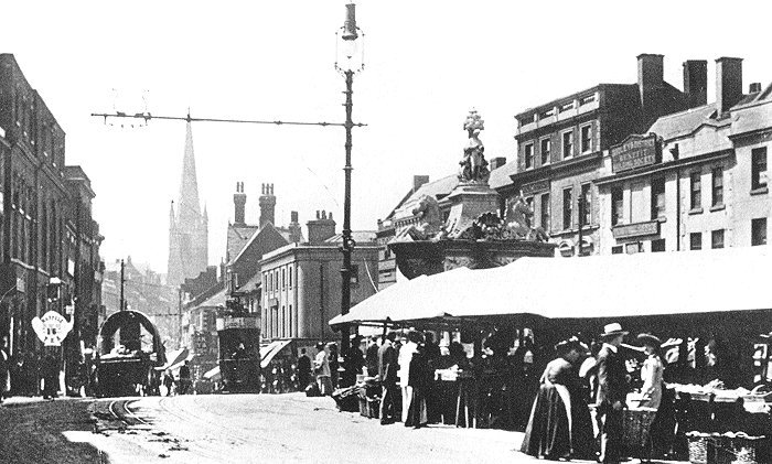
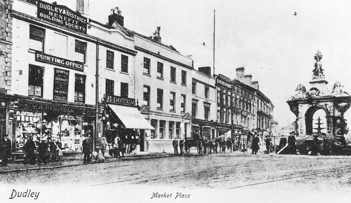
An earlier view of
the Market Place, from the early 1900s. |
|
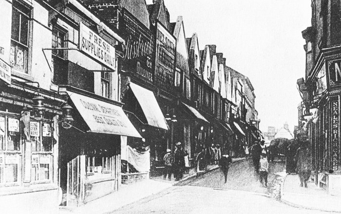
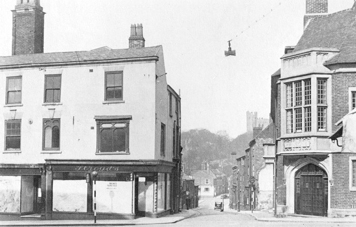
Looking into Hall Street
from the Market Place in the early 1900s. The
Churchill Shopping Centre now occupies the site. |
|
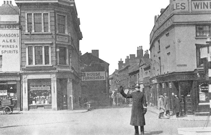
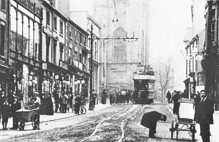
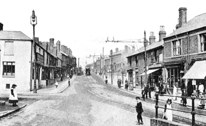
Looking into New Street from
the Market Place in the 1920s. On the right is the
Hen and Chickens Pub, which was rebuilt and extended
between 1932 and 1934 and closed in December 1982.
The building is now occupied by Ladbrokes. |
|
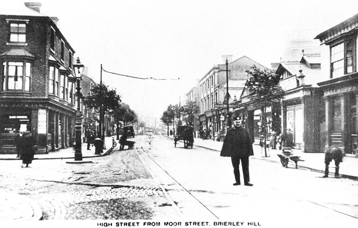
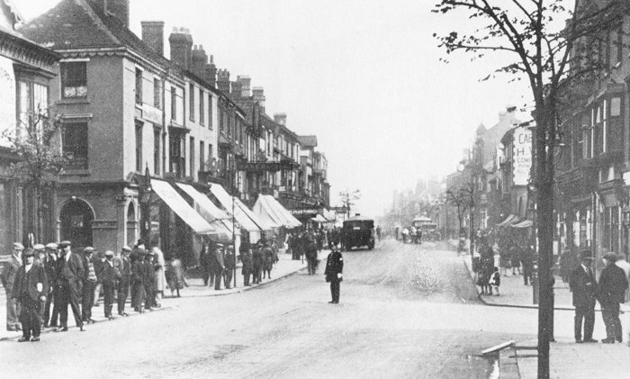
Looking down High Street,
Brierley Hill from the junction with Moor Street, to
the left, in the 1920s. |
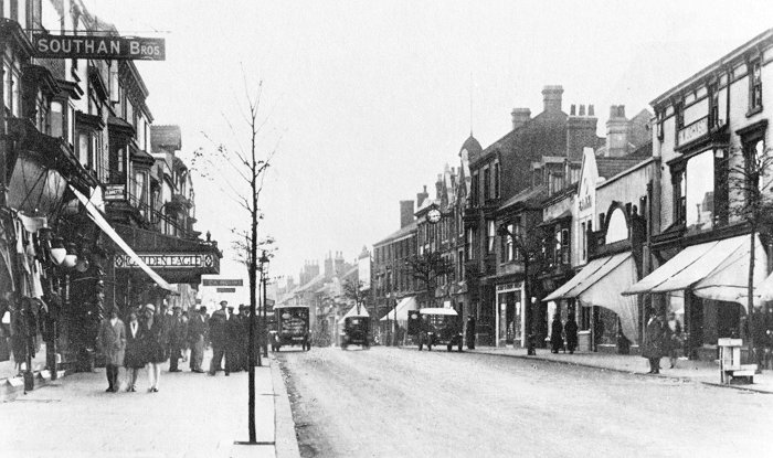
Another view of High Street,
Brierley Hill with the Golden Eagle pub on the left.
It was a tram terminus with a waiting room. In the
photograph, the tram tracks and the overhead wires
had gone, so the people standing there were possibly
waiting for the next bus. The pub closed in about
1956. |
Another view of High
Street, Brierley Hill from about 1930. On
the left is Moor Street and on the right is
Cottage Street. |
Halesowen Road, Netherton,
in about 1910 with the Castle Hotel on the
corner of St John's Street, on the left. The
Castle Hotel closed in 1949 and a pub called The
Mash Tun was built on the site. The Mash Tun
closed and was demolished in 1999. A block of
apartments now stands on the site. |
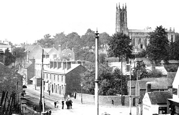
Looking across Wordsley
High Street towards Holy Trinity Church in the
late 1920s. On the right is Brierley Hill Road. |
 |
Return to the
previous page |
|