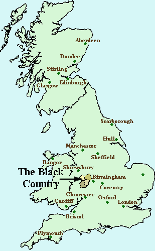
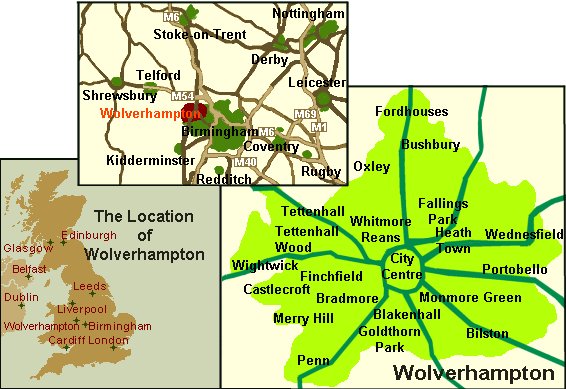
| Wolverhampton The small scale map on the left shows the location of
Wolverhampton within the UK. The centre map which covers about 75 miles
(120 Km.) shows Wolverhampton and the surrounding area. The map on the
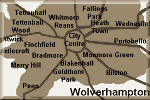
right is of Wolverhampton itself and shows many of the local areas that
are part of the City. The map is about 8 miles (13Km.) across.
|