|
 |
The Farming Community
Around the 8th century AD, the area
was colonised by a tribe called the Anglian Mercens who
came from the north, following the Trent Valley, the River
Tame, and its tributaries. They were known as the Tomsaetan
(dwellers by the Tame). The Darlaston name is possibly
derived from ‘Deorlaf's Tun’ meaning Deorlaf's town, which
could have possibly been the name of the tribal leader. It
was originally called Deorlaveston.
When the settlers arrived, the area was
wooded with small clearings, and a number of streams on the
lower lying land. Although the landscape has changed beyond
recognition, some of the original features survived in old
place names. The small clearings where the settlers would
have lived, and kept their cattle were known by the old
English word “leah”, which has survived in many names
including Bentley, Brierley Hill, Coseley, Cradley Heath,
Dudley, Sedgley and of course the area in Darlaston known as
The Leys. The old word for a settlement was ‘tun’ which can
be found in Bilston, Wolverhampton and Darlaston itself.
The settlers slowly cleared the trees
and began cultivating the land on which to grow crops. The
old English word “halh” meaning a pocket of land appears in
Willenhall, and Ettingshall. The trees were replaced by open
fields, divided into small ploughed strips, each separated
by unploughed strips called baulks. The old name for
Stafford Road was Baulk Lane. Another old word is ‘hege’
which was probably pronounced as ‘hay’, meaning a hedge, the
boundary between the arable and common land. It still
survives in the name Rough Hay which refers to a rough or
imprecise hedge.
|
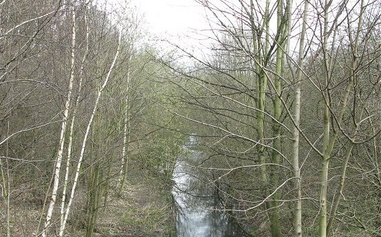
An impression of 8th century Darlaston with
woods, the River Tame, and its tributaries.
|
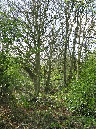
The sort of landscape that greeted the
early settlers. |
For several hundred years, Darlaston
was home to a small farming community in which almost
everyone would have worked on the land, or tended livestock.
Because of the lack of good roads, and the difficulty in
getting-around, there would have been a small number of
service industries supporting local communities, which had
to be almost self-sufficient.
One such service industry could be
found at Bentley water mill, in James Bridge, to the east of
Bentley Mill Way, and just to the north of the River Tame.
The mill ground flour from locally produced wheat, and was
powered by water diverted from the River Tame into a mill
pond.
There would also have been blacksmiths somewhere in the
area, producing all kinds of tools, implements, and weapons,
from iron produced in a bloomery, where a bloom of iron
would be heated and hammered to remove as much slag as
possible. Although no early records about Darlaston exist,
iron ore and coal were being mined in the vicinity by the
thirteenth century. |
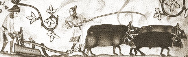
A medieval plough.
 |
|
|
Return to
contents |
|
Proceed to
Mining |
|