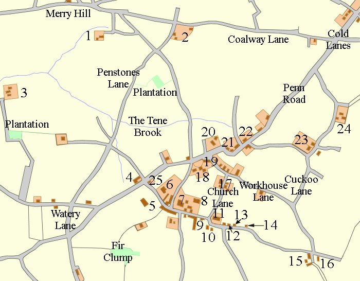
Upper Penn began life as a small farming community, centred around Vicarage Road and St. Bart's Church, with fields covering around 1,300 acres, stretching southwards to Gospel End, eastwards to Wolverhampton Road East and northwards to Merry Hill. As time 
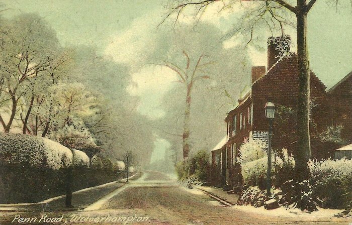
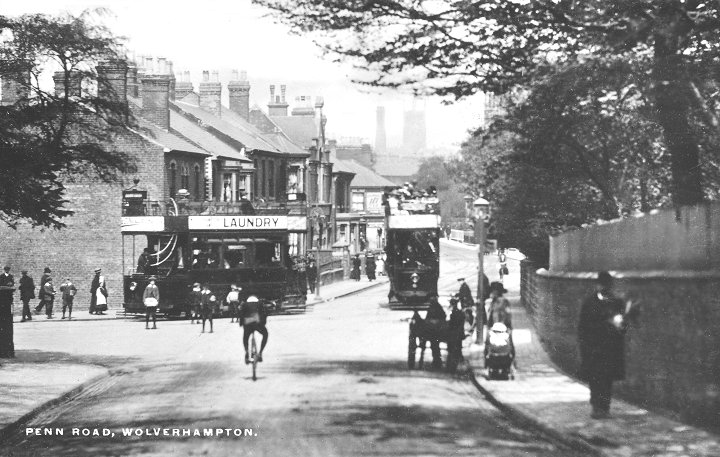
progressed and Penn Road was improved by the turnpike trust, set up in 1761, cottages, shops and public houses also appeared there.

The first detailed map of the area, published by the Ordnance Survey in 1831 to 1838 shows most of the early buildings and gives a good impression of the early village.


A map of the area covered in this article, based on the 1831 to 1838 Ordnance Survey map. With a few additions.
Key to the map above:
1. The Leasowes 10. The vicarage 19. Rose & Crown
2. Oxbarn Farm 11. St. Bart's Church 20. The Woodlands (Penn Villa)
3. Newhouse Farm 12. The Old Stags Head 21. Houses and Shops
4. The Hollybush 13. Almshouses 22. The Roebuck
5. Penn Moor Farm 14. Mount Farm 23. Muchall Hall, Muchall Grove
6. Penn Hall 15. The Barley Mow 24. Muchall Farm
7. Pennover 16. Pennwood Farm 25. Old cottages
8. Clawbonny 17. Manor Farm    
9. Laburnum Cottages 18. The Beeches & The Laurels    
   
                Contents
1. The Hollybush
2. Penn Hall
3. Vicarage Road
4. Pennwood Lane
5. Muchall to Penn Road


Penn Road junction with Coalway Road and Goldthorn Hill. From an old postcard.


Return to the
Penn menu
  Proceed to
The Hollybush